 Leverage an ArcGIS Online model implementation for subscription accounts to configure a mapping platform for your public garden. It provides a pattern you can follow to deploy Esri's cloud-based GIS platform to manage your geographic content and deliver focused maps and applications to knowledge workers in your organization and the visitors you serve.
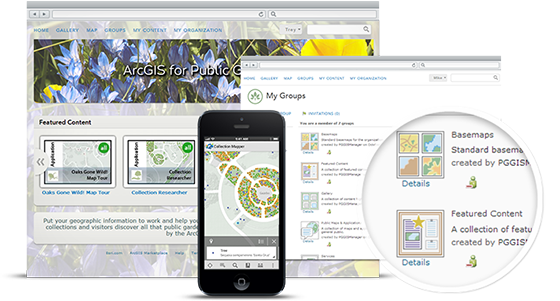
ArcGIS Online for Public Gardens helps you to move your geographic information out of the plant records department and into the cloud where it can be shared with your entire organization and the public. Simply follow the included instructions to setup groups for your content, invite users from your organization, and begin publishing and sharing content that is hosted by Esri or on your own GIS server.