GIS for Public Gardens: Getting Started
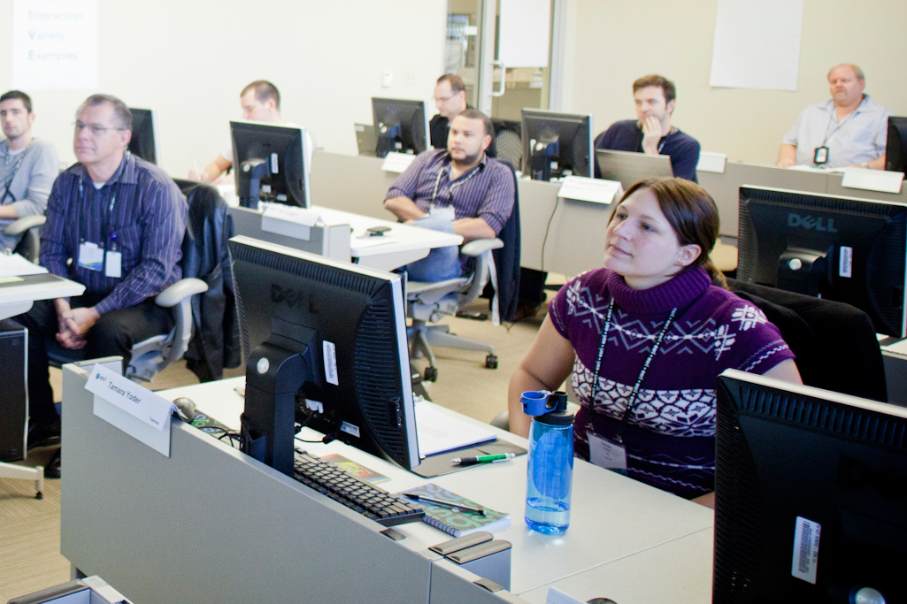 Do you want to learn how to create and maintain accurate collection maps for your garden using the industry's leading GIS software? Do you want the scoop on obtaining that software at an extremely low cost? If so, then this workshop is what you've been waiting for! Brian Morgan, GIS Manager, UC Davis Arboretum, and Executive Director, Alliance for Public Gardens GIS; Mia Ingolia, Curator, UC Davis Arboretum; and Angela Lee, Libraries and Museum Industry Manager, Esri, will be leading an all-day workshop entitled "GIS for Public Gardens: Getting Started" at the American Public Garden Association (APGA) Conference. Creating and maintaining accurate collection maps are critical curatorial functions of public gardens that can be supported with the latest geographic information system (GIS) technologies. This full-day workshop will guide participants through the process of creating a GIS for a public garden using Esri ArcGIS software and the ArcGIS Public Garden Data Model. Participants will learn how to work with the data model template, how to create and edit map features in ArcGIS, how to collect data in the garden using a mobile device, and how to create plant collection maps. Participants will also learn some crucial concepts and background information about GIS, geodatabase data models, field data collection solutions, cartography, online mapping, and other resources available for creating a public garden GIS. Instructions for obtaining software via the ArcGIS for Public Gardens grant program will be shared.
- Date:Â Monday, May 20, 2013
- Time: 7:45 am to 4:45 pm
- Place: Scottsdale Community College
- Cost: $75 plus conference registration (includes lunch and snacks)
- Registration: To attend you will need to register for the APGA conference held in Tucson, Arizona.