ArcGIS Online for Public Gardens
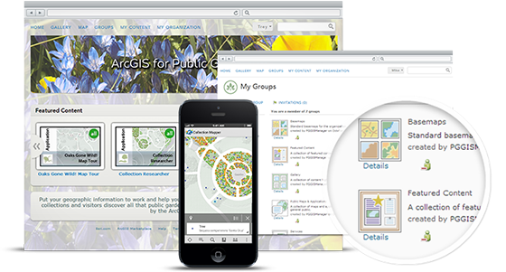
 We are pleased to announce the latest release of ArcGIS Online for Public Gardens! This update includes new group icons and thumbnail templates to help make your mapping portal look even better. ArcGIS Online is a cloud-based mapping platform for organizations. From anywhere on any device, web browser, or desktop application, you get access to dynamic, authoritative content to create, collaborate, catalog, and share maps, data, and applications with members of your organization or the general public. Organizations can subscribe to this secure platform and use it to manage, create, store, and access hosted services, maps and applications. To help you leverage this cloud-based mapping platform, weve developed a model ArcGIS Online organization. This model implementation will help you set up an ArcGIS Online subscription for your public garden. At the same time, the model organization will provide a pattern you can follow to leverage this cloud-based GIS platform to manage your content and deliver focused maps and applications. In summary, the model implementation will show you how to:
- Configure ArcGIS Online as a mapping portal for your organization
- Create groups that support sharing and the functional needs of your organization
- Organize map services and author relevant web maps and applications for users in your organization, and the stakeholders you serve
- Leverage the ArcGIS for Public Garden solution to create and deploy useful maps and applications in your organization
- Invite users into your organization to fill key roles in your online GIS system
The model organization is a guide you can use as you begin to leverage ArcGIS Online. Your specific configuration may vary depending on the functional responsibilities of your public garden and the maturity of your ArcGIS implementation. In addition, you should configure your organizations home page and other aspects of the ArcGIS Online subscription to match your public gardens brand.