2017 GIS for Public Gardens: Online & Mobile Workshop
We are pleased to announce that we will be hosting another offering of our popular GIS for Public Gardens: Online & Mobile workshop in conjunction with the 2017 American Public Gardens Association Conference in Hamilton and Niagara, Ontario this year on June 19.
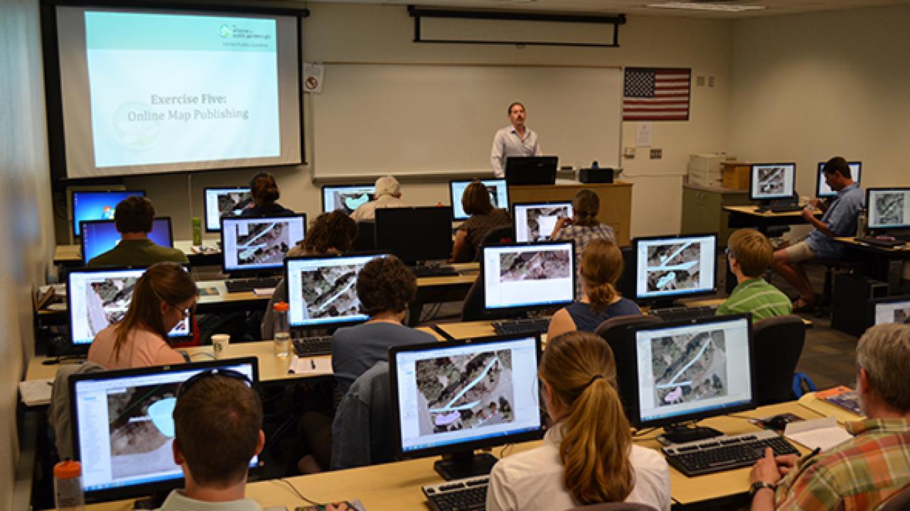
What once was a technology only used in the curatorâs office to put dots on maps has evolved into a complete online and mobile experience that can be used to share information throughout the entire organization and with the world. This full-day workshop will guide participants through the process of creating an online and mobile device accessible public garden information system using Esriâs ArcGIS for Parks and Gardens solution. Participants will learn how to create an online mapping portal for their entire organization, how to create a basemap for their garden, how to collect and update plant collection and facilities data in the garden, and how to share that information with staff and visitors. Participants will also learn about crucial concepts and background information, field data collection solutions, cartography, interpretive application design, and additional resources available for creating a public garden GIS. At lunchtime, stretch your legs and enjoy a guided tour of The University of Guelphâs 400-acre Arboretum. A short walk from the GIS computer lab brings you to an oasis of green, where you will explore our many woody plant collections and learn about our efforts to conserve rare and at-risk species. This workshop is sponsored by Esri and the Alliance for Public Gardens GIS.
Conference attendees can register for this pre-conference workshop for $75. For more information, please visit the conference event website.