APGA-Esri GIS Symposium Brings Public Garden GIS Users Together
 Eddy Dawson of Red Butte Botanical Garden, Steve Gensler of San Francisco Botanical Garden, and Brian Kelly of Mt. Cuba Center celebrate at the symposium closing reception. Photo credit: Brian Morgan, Alliance for Public Gardens GIS.
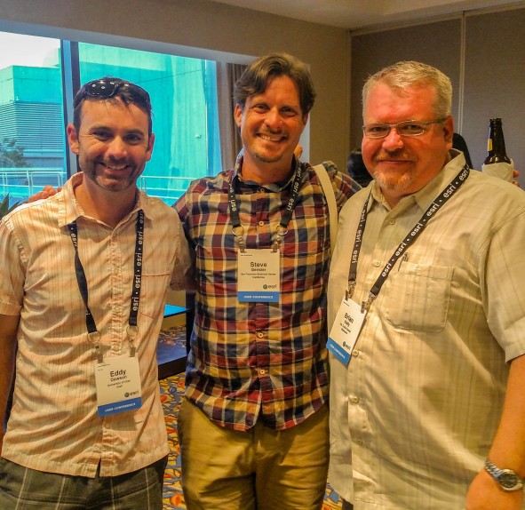
On July 20th GIS users and IT enthusiasts from public gardens across the nation gathered for the three day APGA-Esri GIS Symposium, held in conjunction with the Esri International User Conference in San Diego, CA. This event provided participants with the opportunity to connect with like-minded professionals to share best practices, current initiatives, and to discuss new innovations within the context of the largest geospatial technology conference in the world. Highlights included the Alliance for Public Gardens GIS map gallery display; paper sessions from staff at the Arnold Arboretum of Harvard University, Ventura Botanical Garden, Desert Botanical Garden, Huntington Botanical Garden, and the U.S. National Arboretum; and the Exploring the Future of Cloud-based GIS Visioning Workshop with keynote address by Dr. Peter Raven. For more information on this event and to download presentations, please visit the event page. To learn more about the partnership between APGA and Esri, and to apply to the ArcGIS for Public Gardens software grant program, please visit http://www.publicgardens.org/content/esri-partnership.